The borehole is filled in. The record is all you have.
Soil investigation work is judged years later, by people who were not there. ErgoLIMS keeps depth, coordinates and custody on the sample record, and the calculation reproducible long after the rig has moved on.
Bedded sections — drawn live in the browser, no two frames alike
Site data and lab data are written by different people, in different books
Depth and layer are on the driller's log. Coordinates are on a phone. The lab register has a sample number that may or may not match. Two years later a foundation is questioned, and reconciling those three records is the whole investigation.
Six things a geotechnical lab gets that a spreadsheet cannot give it
Each of these is a shipped capability, not a roadmap item.
Depth and coordinates on the sample itself
Sampling depth or layer, GPS coordinates and chain-of-custody number are structured registration fields — searchable, printable and permanent, not free text in a remarks box.
Proctor, CBR and Atterberg computed server-side
Analysts enter masses, volumes and dial readings. The server evaluates the method formula with your significant figures and rounding, and writes an execution log that cannot be edited or deleted.
Custody from site to bench
Every transfer is recorded on the chain-of-custody log, and storage locations carry a database-level guard so a location can never be nested inside itself.
Equipment that lapses cannot report
CBR machines, triaxial rigs, compaction sets, sieve shakers and ovens sit in the register with calibration and maintenance schedules, and booking that the database prevents double-allocating.
Long tests the schedule remembers
Consolidation and permeability work runs for days. Turnaround is computed in working days against your configured week and holidays, and the TAT-risk list shows what is about to slip.
One project, many boreholes, one view
Samples group under the customer and job, with test groups defined per customer and sample type, so a whole site investigation reads as one body of work rather than a hundred unrelated jobs.
How a geotechnical sample moves through the system
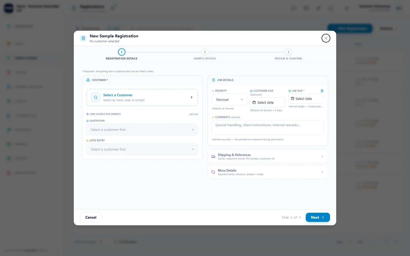
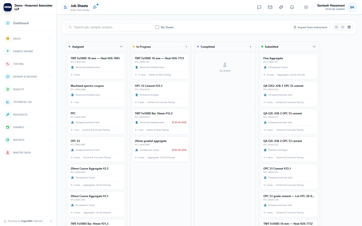
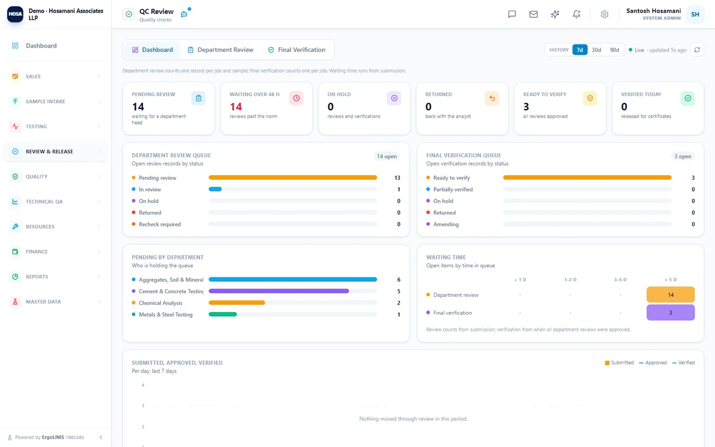
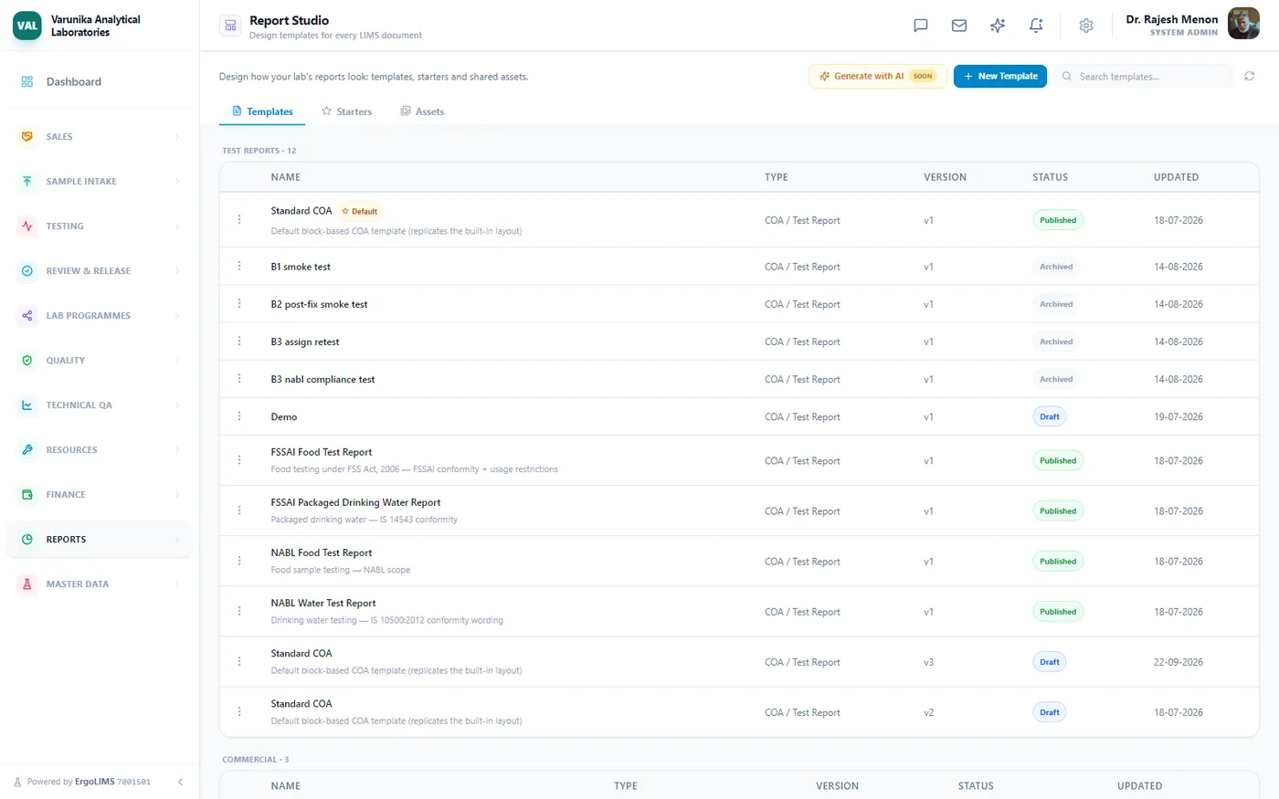
The registration form — three steps, with the customer-committed date and the internal lab target kept as separate fields.
Three people in the lab, three different wins
Enter dial readings and masses; the system computes liquid limit, OMC and CBR and keeps the working.
Depth, coordinates and custody are on the record, so a report can be defended without the driller's memory.
Scan the QR on the report to confirm it is genuine, and see the whole site investigation as one job.
Compliance a geotechnical assessor will recognise
IS 2720 — methods of test for soils
Ten methods seeded across classification, strength, permeability and compaction, each with its part reference.
NABL · ISO/IEC 17025:2017
ULR numbering, authorised signatories, method validation, proficiency testing and a full quality management system.
Traceable calculation
Formula versions are immutable once approved and every execution is logged — no update, no delete, enforced by database trigger.
And you do not start from an empty system
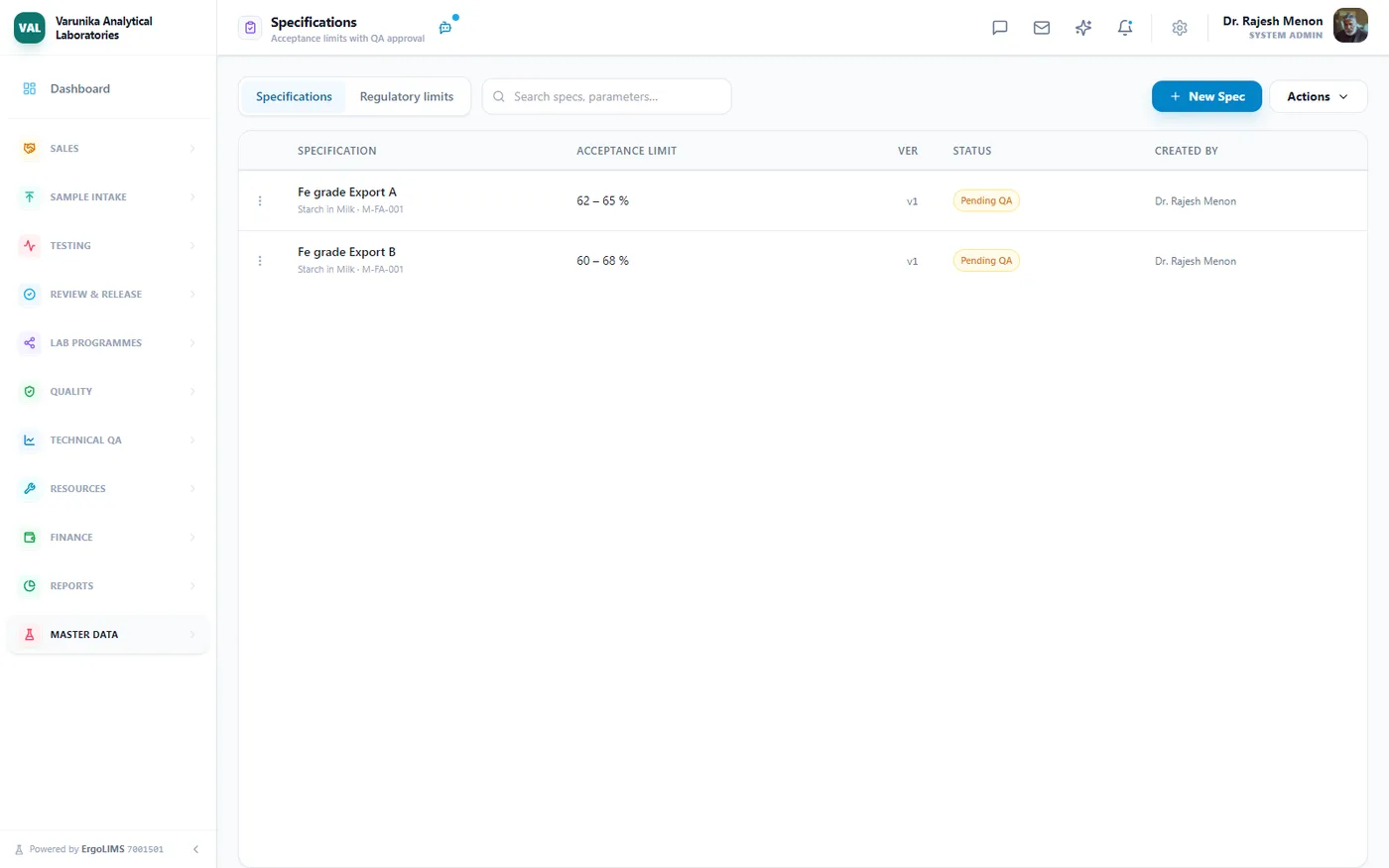
Choose the geotechnical domain at setup and ErgoLIMS provisions the scaffolding for you — as editable templates, not a locked configuration. No universal acceptance limits ship for geotechnical work — criteria are project-specific. Define them as specifications per customer or project.
Questions we hear from geotechnical labs
See it run on your own parameters
A 30-minute walkthrough with the engineers who built it — using your methods, your limits and your reporting format, not a canned script.